By Felix Meister, D.Phil., Advisor Scotland
New provisions
The Wildlife Management and Muirburn (Scotland) Act 2024 introduced a new licensing scheme for making muirburn in Scotland. NatureScot has re-affirmed its intention to have the new scheme ready ahead of the 2025 burning season, starting on 15 September.
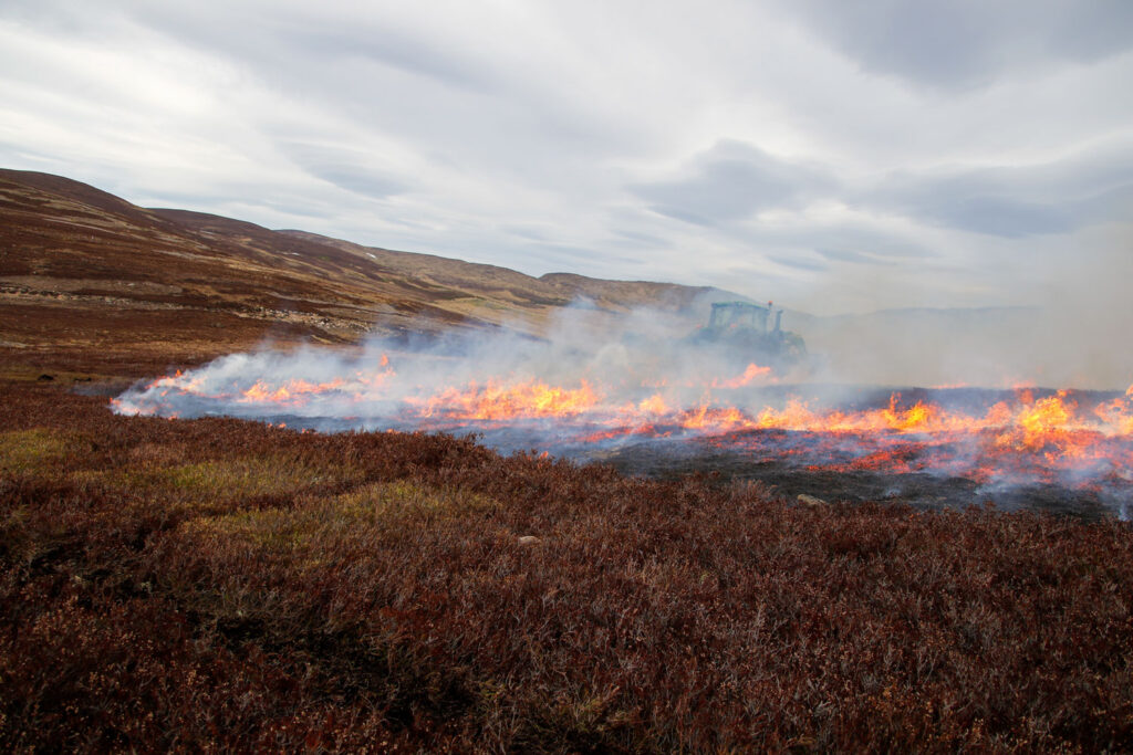
A crucial provision of the new scheme is that NatureScot will grant separate licences for burning on non-peatland (less than 40cm of peat depth) and on peatland (more than 40cm). The legislation allows fewer licensable purposes for burning on peatland, and it is therefore expected that it will be more challenging to obtain a licence for these areas compared to non-peatland.
To help applicants identify areas of peatland and non-peatland on their ground, NatureScot will provide a Peatland Map as part of the online application. The underlying spatial dataset is relatively coarse, meaning areas with a significant amount of non-peatland may still be classified as peatland if the average peat depth is thought to exceed 40cm (Image 1). As a result, obtaining muirburn licences for these areas may be more difficult.

GWCT Muirburn Planning Services
The GWCT Advisory Services in Scotland offer Muirburn Planning Services to assist estates in obtaining the right muirburn licences. We have developed spatial datasets over several years through collaboration with estates. These datasets operate at a much finer scale than NatureScot’s Peatland Map and take into account other environmental factors important for planning muirburn. Moreover, peat depths indicated by our datasets are then confirmed through on-site peat-depth surveys using specialised equipment.
The GWCT spatial maps have the potential to identify areas that may have been incorrectly classified as peatland in NatureScot’s Peatland Map, thereby reclassifying more land from peatland to non-peatland (Image 2). Drawing on these resources and our extensive experience, we can produce highly accurate peat-depth maps. As a result, when included in a muirburn licence application, our maps can help make larger areas eligible for burning under a non-peatland licence.
More information on our Muirburn Planning Services can be found here or by contacting scottishadvisory@gwct.org.uk.