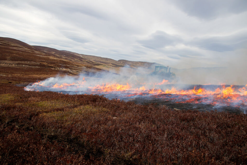
The GWCT has been at the forefront of demonstrating the benefits that controlled rotational burning, if done correctly, can deliver to upland game and wildlife species as well as the ecosystem in which they thrive. Recognising these benefits, Scottish Government introduced a licensing system for legal muirburn with The Wildlife Management and Muirburn (Scotland) Act 2024 and tasked NatureScot with the creation of a new statutory Muirburn Code.
GWCT Advisory Services Scotland have developed the Muirburn Planning Services to assist upland estates and farms in Scotland in obtaining muirburn licences and to provide a means of demonstrating adherence to the Muirburn Code. Services include:
Peat Depth Maps
Peat Depth Maps identify areas of shallow peat and deep peat on a given area. An initial desk study using refined spatial datasets locates and classifies areas of peatland. This then serves as a basis for a detailed on-site survey of peat depths using specialised equipment. The resulting maps offer a highly accurate classification of land into peatland and non-peatland. When submitted as part of a muirburn licence application, they are an important means of obtaining the right licence for the right place. Read here how our Peat Depth Maps can make larger areas available for burning under a non-peatland licence.
Environmental Constraints Maps
Environmental Constraints Maps set out factors, other than peat depth, that may constrain muirburn under current legislation or the new Muirburn Code. These factors include slopes, watercourses, gullies, bare peat, scree, European Site designations as well as unsuitable vegetation. An initial desk study is followed by a detailed on-site assessment. The resulting map categorises areas as generally unsuitable, less suitable, and generally suitable for muirburn. Environmental Constraints Maps are intended to complement Peat Depth Maps and make a valuable contribution towards demonstrating adherence to the Muirburn Code.
Muirburn Plans
Muirburn Plans are our most comprehensive product. In addition to Peat Depth Maps and Environmental Constraints Maps, Muirburn Plans contain detailed risk assessments that document the staff intended for muirburn, their training and available equipment, primary access routes, rendezvous points, helicopter landing sites and neighbouring estates with contact details. They also set out the site-specific risks to wildlife and habitats, and the actions required to mitigate these risks. Muirburn Plans constitute the ultimate documentation of adherence to current legislation and the Muirburn Code.